
Kent County Mapping Tools
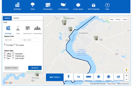
Kent County Interactive Parcel Viewer
This map is intended to help someone understand what public infrastructure or incentive zones exist on individual parcels. The parcel data is from MdProperty View and additional layers have been included. Layers may be turned on and off depending on what information you need to see. Pop-up windows have been configured to provide basic information about selected parcels, including the ability to link to the parcel listing in the State Department of Assessments and Taxation (SDAT) Real Property Search. In addition, a screening tool is available that will generate a pdf report with a map and data from each layer for selected properties. For help using the mapping tool, please contact the Department of Planning, Housing, and Zoning at 410-778-7423. For help regarding programs within enterprise or incentive zones, please contact the Department of Economic and Tourism Development at 410-778-0416.
For properties located in an incorporated town, please contact the town for zoning information.
Parcel Viewer Map
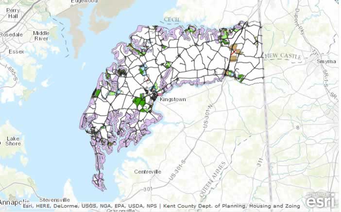
MERLIN - Maryland's Environmental Resource and Land Information Network
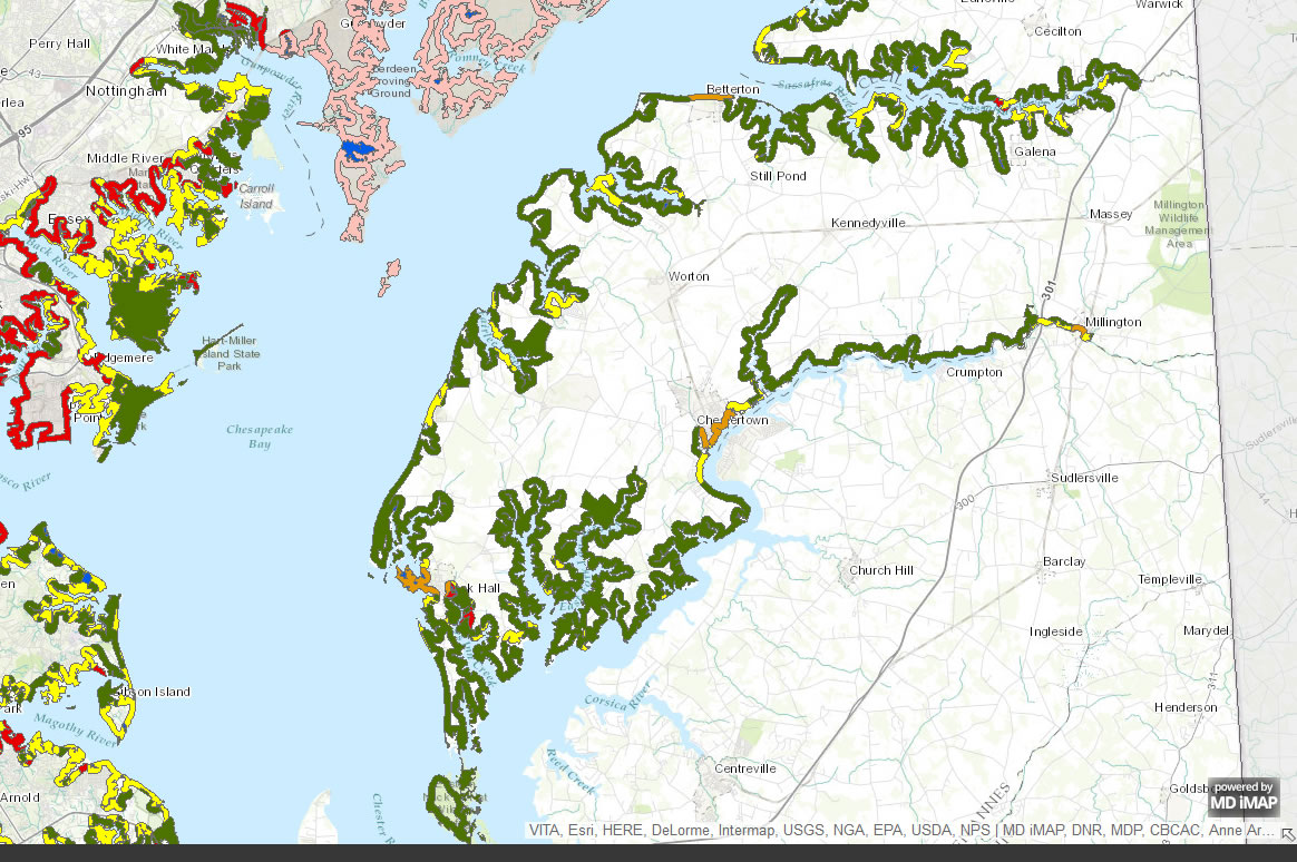
MERLIN Online was originally developed back in the late 1990s because of everyone's "hunger" for spatial data. It was also developed to help them make better informed decisions. MERLIN Online allows users to produce a custom map of any location in Maryland, including their choice of base maps and data layers. - Maryland DNR
MERLIN Map
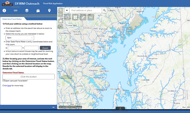 Flood Insurance Rate Maps
Effective June 3, 2014, Kent County adopted a new Flood Insurance Study (FIS) and Flood Insurance Rate Maps (FIRMS). The FIS and FIRMs were updated by the Federal Emergency Management Agency as part of a National Flood Insurance Program conversion to digital or DFIRM maps. This link will take you to a mapping application where you can find out if your property is in a Special Flood Hazard Area (Floodplain).
https://mdfloodmaps.net/map/
Maryland Incentive Lookup Map
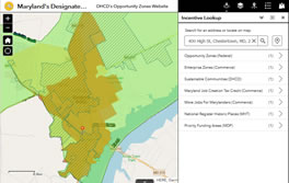
Start with the Maryland Department of Housing and Community Development, Opportunity Zone Mapping tool. This tool identifies other State Incentives that may be available based on the property address of an existing or new business. It will identify properties located in a Priority Funding Area, an Enterprise Zone, an Opportunity Zone, etc. and identify Maryland tax credits that may be available. Please contact our office at 410-778-7423, for mapping assistance with this tool. Please contact the office of Economic and Tourism Development at 410-778-0416, with any questions on State or local incentive programs.